michelin do a larger scale orange series which I use for motorbike trips. Picos is a great area and pyrenees too. coast is nice but can have more traffic!
I can also recommend the National Geographic country maps. More of a country map than a road map as such but still has all the roads with the addition of lots of points of interest mainly centred around cultural and heritage sites. They also have contour lines so you can get a feel for the lay of the land from the paper map. I’ve taken to carrying both on trips.
Not a map, but I would highly recommend a Rough Guide or Lonely Planet. When I am planning a trip, I look at the map first, then potential places of interest, then look them up in RG/LP to check if they are worth visiting. A check on Google maps often includes visitor’s photos and comments. I then plan a route to include them if they appeal.
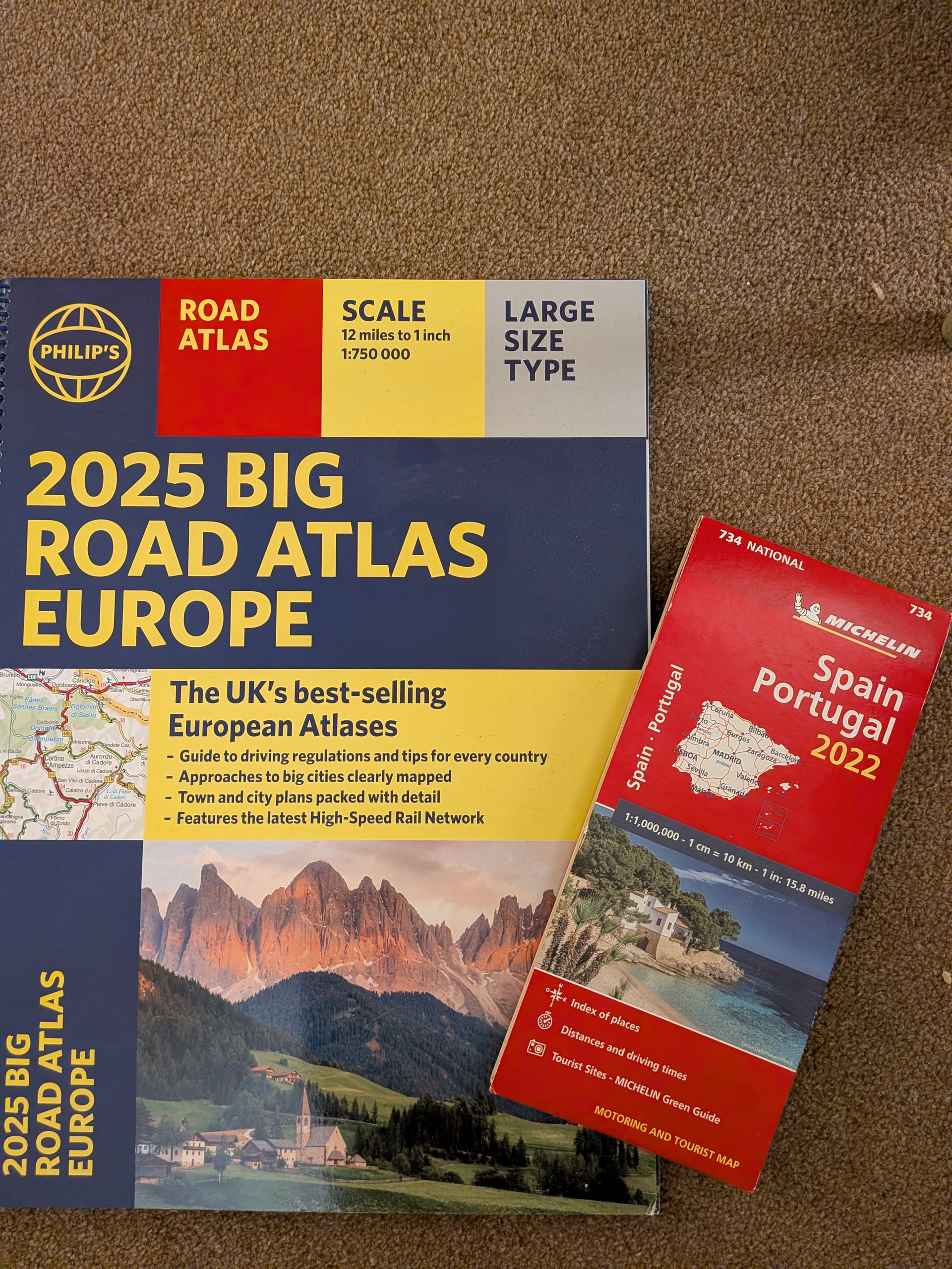
Used the AA Road Atlas Spain & Portugal to accompany us on Scenic Car Tours Picos d’Europa & Douro Tour last September. Looks like Michelin mapping rather than AA.
The 1:300,000 scale equated to 4.7 miles:1 inch which wasn’t really detailed enough for turn by turn directions on some of the daily routes, but better than the maps provided by SCT.
Much of the evening was spent plotting routes in Google Maps & sharing as is or as .gpx files with others on the tour.
I can definitely recommend the Picos de Europa, in particular, Fuente De. If you like the work of Gaudi, the first house he built , El Capricho de Gaudi in Comillas, Cantabria is really worth a tour. Then Lekeitio in the Basque Country is a lovely small fishing port with a beautiful bay and beach.
The Picos is an amazing area, almost surreal. Utterly wild in parts which can only be accessed on foot or horseback. There are still bears & wolves living wild there!